Stongest in Finland

Banner

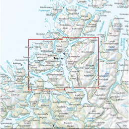
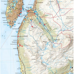
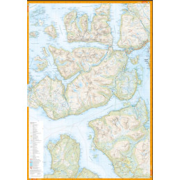
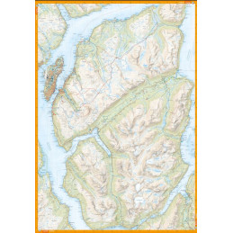
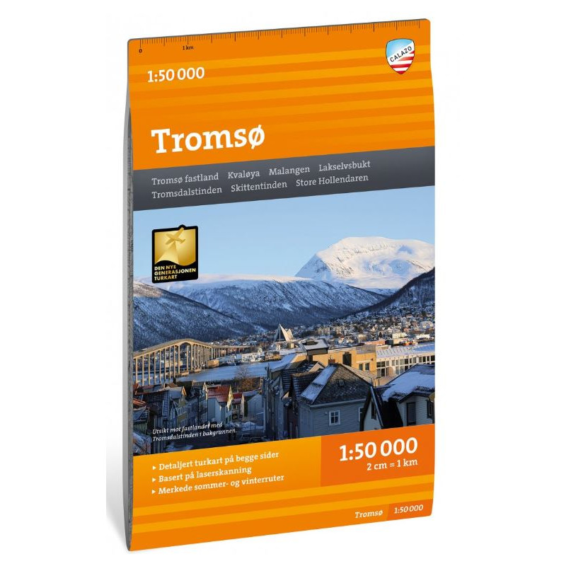
This map shows both the front and the back and covers much of the Tromsø area, which is great for skiing and mountain hiking. The map covers all the most popular mountain areas on the Tromsø mainland, with the classics of Malangen and Kvaløya, such as Tromsdalstinden (1238 m), Skittentinden (1042 m), Bure (802 m) and free cabins.

Secure Paytrail & Paypal payments
 Free delivery to orders over 100 EUR
(Pick up from parcel locker or nearest post) Valid only inside Finland.
 14 days for return.
(except special products. Please read delivery terms)
This map shows both the front and the back and covers much of the Tromsø area, which is great for skiing and mountain hiking. The map covers all the most popular mountain areas on the Tromsø mainland, with the classics of Malangen and Kvaløya, such as Tromsdalstinden (1238 m), Skittentinden (1042 m), Bure (802 m) and free cabins. This is part of Calazo's modern map series with unique terrain data based on aerial laser scanning and greater accuracy in detail. This has allowed them to use detailed aerial photographs to correct all the trails in the area and also identify and add many trails missing from the official databases.
It also shows marked hiking trails in the area and works equally well in winter on marked winter trails and prepared ski tracks.

Reference: 9789188335821
Brand: Calazo
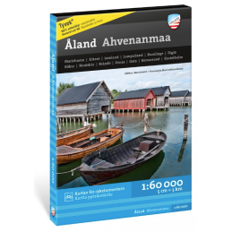
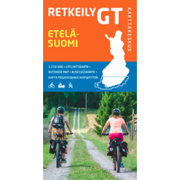
Åland is an ideal destination for cyclists, kayakers and hikers.
Reference: 9789522666772
Brand: Karttakeskus
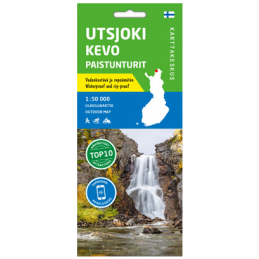
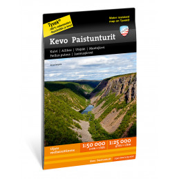
Utsjoki Kevo Paistunturit 1:50 000, vedenk. ulkoiluk. 2021
Reference: 9789188779564
Brand: Calazo
A good hiking map is a great help in planning nice hikes in mighty Finnmark.
Brand: Calazo
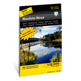
Calazo map of Nuuksio Noux 1:15.000 hiking area
Reference: 9789188335432
Brand: Calazo
Nord-Troms offers opportunities for versatile outdoor life, for all seasons. Islands with harsh and weather-beaten nature.
Reference: 9789186773724
Brand: Calazo
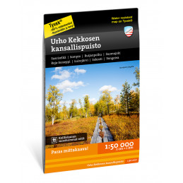
Calazo map of Urho Kekkonen national park 1:50.000 hiking areas
Reference: 9789189541467
Brand: Calazo
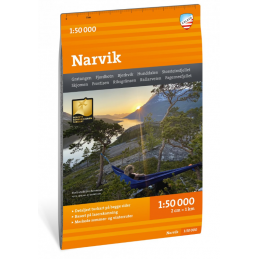
This map covers much of Narvik's surroundings from Fjordbotn in the north to Skjomdalen in the south.
Reference: 9789522666871
Brand: Karttakeskus
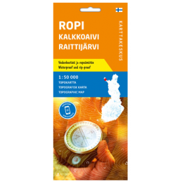
Ropi Kalkkoaivi Raittijärvi, Topokartta 1:50 000 Käsivarren välitunturit ympäristöineen
This map shows both the front and the back and covers much of the Tromsø area, which is great for skiing and mountain hiking. The map covers all the most popular mountain areas on the Tromsø mainland, with the classics of Malangen and Kvaløya, such as Tromsdalstinden (1238 m), Skittentinden (1042 m), Bure (802 m) and free cabins.